REGION BRIEF / 01
One region. Several road characters.
Scandinavia is not one uniform driving environment. Forest depth, elevation, coastal exposure, daylight and winter severity vary by location. A route that looks simple on a map may include changing surfaces, private access roads or seasonal restrictions. Use regional character to choose a trip style, then check each road and destination independently.
Finland: forest networks and long sight lines
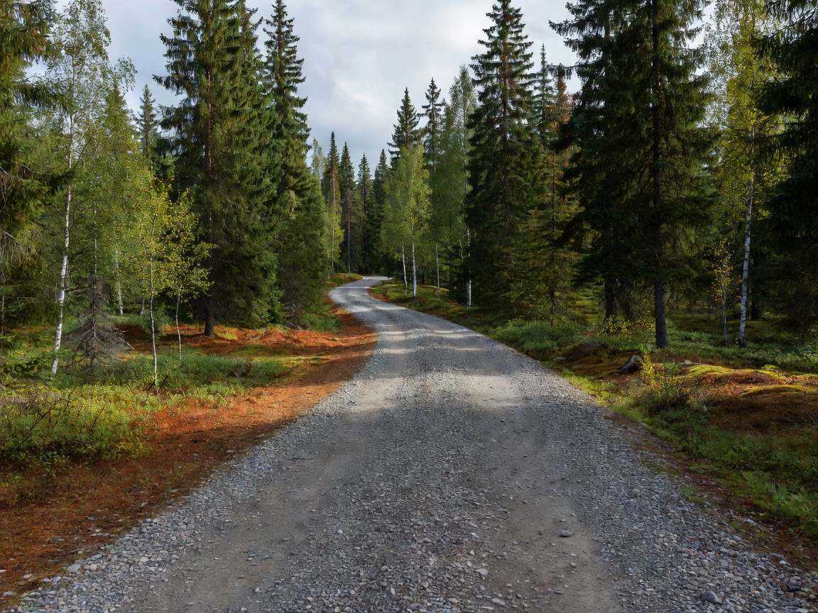
Finland is strongly associated with forest-road rally environments. Outside competition, ordinary public roads range from paved links to gravel routes. Forest cover can reduce cross-country visibility even when a road appears straight. Junctions, farm access, wildlife and surface changes remain relevant. Do not assume a forest track is public because it is visible on a map. Confirm its legal status before entering.
Gravel can suit visitors seeking rural landscapes and a route with frequent surface changes. It can also mean dust, loose aggregate, narrow verges and limited passing space. In colder months, snow and ice change the surface profile; snow cover can conceal edges and obstacles. Allow time for cautious travel and route checks.
Sweden: broad interior, coast and northern winter
Sweden offers varied geography: forested inland areas, populated southern districts, coastal routes and colder northern environments. Rally heritage is especially visible in forest-stage settings, but a competition road is controlled for an event and may be private or closed. Ordinary public roads are subject to normal traffic laws. Event viewing requires official visitor guidance, designated access and compliance with marshals’ instructions.
In the north, seasonal daylight and winter conditions affect itinerary timing. Coastal weather can differ from inland conditions. Build a route with alternatives rather than treating one scenic road as essential. Check official road and weather information close to departure.
Norway: elevation, valleys and exposed routes
Norwegian routes can include mountain passes, steep gradients, tunnels, fjord-side roads and exposed coastal stretches. Elevation changes can affect weather, road surface and travel time. A short map distance does not guarantee a short journey. Narrow roads, seasonal closures and local access rules can affect route choice. Check current official information for the exact road, not only the wider area.
Mountain landscapes differ from fast forest-road imagery often associated with rally culture. They call for distinct planning: check access notices, consider daylight and avoid a schedule that depends on a single pass remaining open. A public scenic road is not a rally stage.
Denmark: a relevant travel link, not a replica stage region
Denmark’s lower-relief landscape and denser settlement pattern make it different from Nordic forest and mountain environments. It can be part of a Scandinavian road itinerary or a cultural stop, but should not be presented as a copy of the classic forest-stage setting. Expect ordinary public-road rules, local traffic and changing urban or rural conditions. Use it as a distinct region in a wider journey.
Compare the route before you commit
Forest and gravel
Good for rural scenery and surface variety. Expect reduced sight lines, loose stone and limited services on some routes.
Coast and mountain
Good for changing landscapes and elevation. Expect exposure, variable weather and access changes that require current checks.
Access: three categories, three different rules
Public roads are used under local traffic law and posted restrictions. Private roads require permission or must follow the applicable local access rules; do not assume a map route grants entry. Closed competition stages are controlled event areas. Enter only when an organizer has officially opened a designated visitor area and directs access. Never drive a stage during closure.
Route-selection criteria
Choose by surface comfort, vehicle suitability, daylight, services, weather exposure and road status. Check whether the route has reliable alternatives and permitted stopping places. Separate scenic-road goals from event attendance. For an event, use the organizer’s current spectator information rather than old route notes.
Good for
Visitors comparing Nordic landscapes, planning a legal road trip, or learning how terrain shapes rally-stage character without treating stage roads as public attractions.
What to know
Road type, legal access, closures and seasonal conditions change. Map visibility does not establish permission. No guide can replace local signs, official notices or current information.
Practical checklist
- Confirm road status and local access rules.
- Review weather, daylight and seasonal restrictions.
- Check surface, vehicle suitability, fuel and rest options.
- Use official event visitor guidance for competition areas.
- Keep a legal alternative route available.